Whether delivered online or onsite, instructor-led live Spatial Analysis training—also referred to as Spatial Statistics, Spatial Analytics, Geospatial Analysis, Geospatial Analytics, Geo-Spatial Analysis, or Geo-Spatial Analytics—illustrates through interactive discussion and practical exercises how this analytical approach utilizes software that renders maps, processes spatial data, and applies analytical techniques to terrestrial or geographic datasets, including geographic information systems and geomatics.
Spatial Analysis training is available in two formats: "online live training" or "onsite live training". Online live training (also known as "remote live training") is conducted via an interactive remote desktop. Onsite live training can take place locally at the customer's premises in Transylvania or at NobleProg's corporate training centers in Transylvania.
NobleProg -- Your Local Training Provider
Brasov, Calea Bucuresti Street
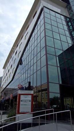
NobleProg Brasov, 13 Calea Bucuresti Street Sacele, Brasov, romania, 505600
The hotel is situated at the city entrance, being the best conference and training location in Brasov. Three conference rooms can accommodate up to 170 guests and can be modified for the company needs. These training rooms are equipped with the all necessities of a good conference or training.
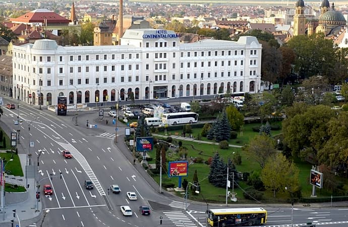
Salile de training sunt situate central în Sibiu, pe principalul bulevard. Clădirea hotelului care le gazduieste este de factură clasicistă si reprezinta un punct de referinta arhitecturala a orasului.
Turnul Sfatului, Galeria de Arta Contemporana, sau parcurile Corneliu Coposu si Astra se află în imediata apropiere.
Pentru a ajunge aici de la gara, puteti merge pe jos 20min sau cu autobuzul 5 circa 10min
Locuri de parcare găsiți în parcarea supravegheata, sau pe străzile alăturate.
Cluj-Napoca, Pitești Street
NobleProg Cluj-Napoca, Strada Pitești 19, Cluj-Napoca, romania, 400124
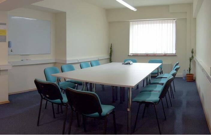
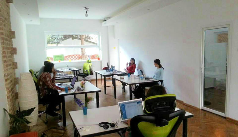
ClujHUB has more rooms for events and training sessions, which can host from 4 to 80 people. These areas can be setup up to fit the companies need. The location is great, 10 minutes walk from the historical city center.
ArcGIS Professional Plus represents an advanced iteration of ArcGIS Pro, providing enhanced capabilities for geospatial data analysis, 3D modeling, automation, and enterprise collaboration.
This instructor-led live training, available online or onsite, is designed for intermediate-level GIS professionals aiming to deepen their expertise in spatial data analysis, automation, and sharing using ArcGIS Professional Plus tools.
Upon completion of this training, participants will be equipped to:
Utilize ArcGIS Pro Plus tools effectively for data visualization and analysis.
Design 2D and 3D maps employing advanced symbology and geoprocessing techniques.
Automate workflows through ModelBuilder and Python scripting.
Integrate ArcGIS with external data services and enterprise systems.
Course Format
Interactive lectures and discussions.
Numerous exercises and practical sessions.
Hands-on implementation within a live-lab environment.
Course Customization Options
For requests regarding customized training for this course, please contact us to make arrangements.
This instructor-led, live training in Transylvania (online or onsite) is aimed at beginner-level to advanced-level GIS professionals and analysts who wish to learn how to effectively use ArcGIS for data visualization, spatial analysis, and geospatial project management.
By the end of this training, participants will be able to:
Navigate and utilize ArcGIS tools for geospatial data management.
Create and customize maps with layers and attributes.
Perform advanced spatial analysis and geoprocessing tasks.
This instructor-led, live training in Transylvania (online or onsite) is designed for advanced GIS professionals who want to use ArcGIS Pro to enhance their spatial analysis capabilities, perform comprehensive geostatistical analysis, and apply advanced 3D modeling techniques for better decision-making and problem-solving in real-world scenarios.
Upon completion of this training, participants will be able to:
Master advanced spatial analysis techniques within ArcGIS Pro.
Employ Python scripting to automate tasks and process complex data.
Implement spatial modeling solutions for practical problem-solving.
Execute geostatistical analysis to achieve advanced data interpretation.
Integrate external data sources and utilize 3D spatial data analysis.
This instructor-led, live training in Transylvania (online or on-site) is designed for IT support staff at the beginner level who wish to deliver robust support for ArcGIS Enterprise, effectively addressing any anomalies or system failures.
Upon completion of this training, participants will be able to:
Comprehend the architecture and core components of ArcGIS Enterprise.
Acquire the skills to install, configure, and manage ArcGIS Enterprise.
Develop proficiency in troubleshooting and resolving common operational issues.
Build expertise in monitoring and maintaining ArcGIS Enterprise environments.
Master techniques for backup, recovery, and performance optimization.
This instructor-led live training in Transylvania (online or onsite) targets beginner-level professionals who want to learn the fundamental concepts and tools of ArcGIS.
By the end of this training, participants will be able to:
This instructor-led live training in Transylvania (online or on-site) is targeted at beginner-level earth sciences and engineering professionals who wish to utilize Python for geospatial analysis in both ArcGIS and QGIS environments.
By the end of this training, participants will be able to:
Learn Python syntax and control structures for executing geospatial tasks efficiently.
Use Pandas, Numpy, and Matplotlib for data analysis and visualization in GIS.
Manipulate and analyze vector data with Geopandas, Arcpy, and PyQGIS libraries.
Automate geospatial processes and workflows using Python scripting in ArcGIS and QGIS.
Develop custom Python-based geoprocessing tools for ArcGIS and QGIS to streamline tasks.
This instructor-led, live training in Transylvania (online or onsite) is tailored for intermediate-level geographers aiming to deepen their expertise in spatial analysis, data management, and GIS applications.
By the end of this training, participants will be able to:
Apply advanced spatial analysis techniques to solve complex geographical problems.
Manage large spatial databases and perform data quality control.
Create dynamic and interactive maps and visualizations for various applications.
Utilize programming and automation to streamline GIS workflows.
Pix4D Matic and Pix4D Survey are sophisticated photogrammetry and geospatial data solutions designed for high-precision mapping, terrain modeling, and comprehensive analysis.
This instructor-led live training (available online or onsite) targets beginner to intermediate geospatial professionals eager to process, analyze, and derive actionable insights from drone data using Pix4D Matic and Pix4D Survey.
Upon completion, participants will be capable of:
Processing large-scale photogrammetry projects with Pix4D Matic.
Producing orthophotos, digital terrain models, and contour lines.
Cleaning and vectorizing point cloud data using Pix4D Survey.
Extracting and exporting essential geospatial deliverables for geological or civil analysis.
Course Format
Interactive lectures and discussions.
Practical processing with real-world datasets.
Guided project work and output interpretation.
Customization Options
To arrange a customized version of this course, please get in touch with us.
This instructor-led, live training in Transylvania (online or onsite) is aimed at field ecologists and conservation managers who wish to create data spatial projects in ArcGIS.
By the end of this training, participants will be able to:
Output spatial data as visualizations.
Conduct geostatics on actual data.
Implement spatial data analysis, data processing, and mapping with ArcGIS.
In the dynamic energy industry, combining electrical transient analysis with accurate geographic information has become a strategic imperative. Relying on disjointed data currently creates substantial operational risks. To address this, this intensive 14-day course in Melbourne aims to connect electrical engineering principles with geospatial management practices.
A Geographic Information System (GIS) is a framework designed to capture, store, manipulate, analyze, manage, and present spatial or geographic data. The acronym GIS is also occasionally used to denote Geographic Information Science (GIScience), which refers to the academic discipline studying these systems and represents a significant domain within the broader field of geoinformatics.
QGIS operates as GIS software, enabling users to analyze and edit spatial information, as well as create and export graphical maps. It supports both raster and vector layers; vector data is stored in the form of points, lines, or polygons. The software accommodates various raster image formats and allows for image georeferencing. In summary, it empowers users to create, edit, visualize, analyze, and publish geospatial data on Windows, Mac, Linux, and BSD platforms.
In its first phase, this program introduces the QGIS interface for general use. In the second phase, we cover PyQGIS—the Python libraries of QGIS that enable the integration of GIS functionalities into your Python code or applications, allowing you to develop custom Python plugins tailored to specific GIS capabilities.
Read more...
Last Updated:
Testimonials (2)
Learning that the QGIS and a tool that can used by other different professionals such land survey
Bame Duncan Koko - Bentel Technologies (Pty) Ltd
Course - QGIS for Geographic Information System
How to use open satellites data for real applications
Tshering Dorji - Druk Holding and Investments
Course - Advanced Geographic Information Systems (GIS)
Online Geospatial Analytics training in Transylvania, Spatial Analytics training courses in Transylvania, Weekend Geospatial Analytics courses in Transylvania, Evening Spatial Statistics training in Transylvania, Spatial Analytics instructor-led in Transylvania, Geospatial Analytics instructor in Transylvania, Spatial Analysis instructor-led in Transylvania, Geospatial Analytics on-site in Transylvania, Online Spatial Statistics training in Transylvania, Geo-Spatial Analysis private courses in Transylvania, Spatial Analysis classes in Transylvania, Geo-Spatial Analysis boot camp in Transylvania, Geospatial Analysis coaching in Transylvania, Spatial Analytics one on one training in Transylvania, Weekend Geospatial Analysis training in Transylvania, Geospatial Analysis trainer in Transylvania, Evening Geospatial Analysis courses in Transylvania